Michel's pass was not really anything with only 2 tricky bits that a RWD bakkie with difflock will easily manage - provided it hasn't rained.
The real unexpected treat was the road from Tarkastad to Seymour - see attached Google Earth path.
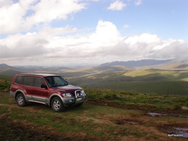
The drive on the plateau was picturesque with massive expanses of fields filled with beautifull cattle and spades of horses. Panoramic views stretching 10's of kilometers were breathtaking to say the very least. The road is so seldom used that most of the tracks had grass on them where the wheels run.
The path down the mountain, 10km shy of Seymour, became a 4x4 trail without any boards or warnings. I hope nobody ever decides to tackle this, normal gravel road marked on Garmin's map, with a platkar as they will definitely not make it.
A high ground clearance softy or bakkie may make it down but up will be a different story. If it is wet it will be a serious challenge for any 4x4 - even the pajero bumped it's 4mm steel bashplate a couple of times (even after getting out and choosing a line beforehand)
Here are some pics - no pics of Michel's pass as it was a baby compared to the road down the mountain and the views of Michel's pass was muted by the spectacular views on top of the plateau of this magnificent 4x4 traveller's road.


My Favourite
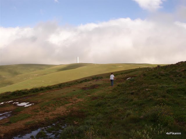
Saw this tower from miles away and wondered what it is

This was the sign at the gate of the tower. I still don't know what this tower is


